On this day — October 23: The 1865 Nilgiris storm
The severe storm that struck Ootacamund and Coonoor on October 23, 1865—presented with verified Nilgiris historical sources.
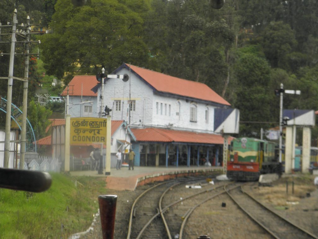
Coonoor railway station, photographed October 18, 2013. Photo: आशीष भटनागर / Wikimedia Commons. CC BY-SA 3.0. No modifications. This is not a photograph of the 1865 event.
Languages: മലയാളം | தமிழ் | English
This is a major natural-disaster record directly connected with October 23 in Nilgiris history.
On October 23, 1865, a severe storm struck the Ootacamund (Ooty) and Coonoor areas. The Nilgiris, Volume I, a district historical manual, describes it as one of the worst storms then on record.
What the historical record says
- The right approach to a masonry bridge over the Coonoor stream was covered by a torrent four to five feet deep.
- The district manual locates that bridge near what was, by the time of writing, the Coonoor railway station.
- At Ootacamund, the lake rose to the top of the Willow Bund and at one stage threatened to breach it.
The Coonoor railway station did not yet exist in 1865. The manual’s phrase “near the present railway station” is a later geographical reference, not evidence that a functioning station was flooded in 1865.
Place in the Nilgiris disaster record
The district manual says unusual rain in the Nilgiris generally caused its main damage to roads and bridges. A 2010 study on landslide-risk planning in the district also lists the October 23, 1865 storm among the Nilgiris’ major historical disasters.
Neither of the two sources gives a confirmed death toll for this event, so no casualty number has been stated.
- The Nilgiris, Volume I — full text at Archive.org (the October 23, 1865 record appears around page 246)
- G. P. Ganapathy and co-authors — study on landslide-risk planning for the Nilgiris, 2010 (page 5)
Context photograph: Coonoor railway station, photographed October 18, 2013. Photo: आशीष भटनागर; source: Wikimedia Commons; license: CC BY-SA 3.0. No modifications. This is not a photograph of the October 23, 1865 storm; it is used only to show the present-day location referenced in the historical record.