‘Punah Bharan’ app launched to map groundwater recharge opportunities within 3 km
The Jal Shakti Ministry has launched the Punah Bharan app to identify potential artificial groundwater-recharge zones and suitable structures within a three-kilometre radius.
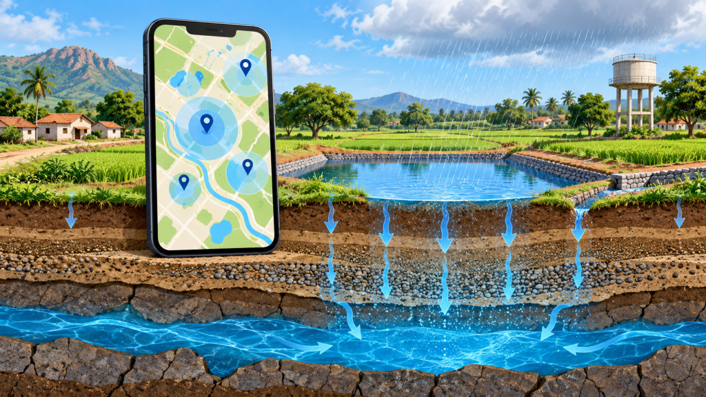
AI-generated illustration of rainwater infiltration and map-based groundwater recharge-zone planning. It does not depict the real app interface or launch event. Created by OpenAI for MyNilgiris.
The Union Ministry of Jal Shakti launched the ‘Punah Bharan’ mobile application on October 28, 2026, to support scientific planning for groundwater recharge.
The application was developed by the Bhaskaracharya National Institute for Space Applications and Geo-informatics (BISAG-N) in collaboration with the National Water Mission.
What the application provides
- It helps users identify potential artificial-recharge zones within a radius of up to three kilometres.
- It suggests recharge structures suited to local conditions.
- The web portal provides village-level Artificial Recharge Structure zonation maps, GIS tools and thematic data layers.
- Planning uses geospatial datasets including rainfall, groundwater levels, groundwater yield, slope and drainage.
The Ministry describes the platform as a planning aid for informed groundwater-recharge work. The cited official release did not provide an app-store download link.
Image disclosure: This is an AI-generated symbolic illustration. It does not depict the real app interface or launch event. Created by OpenAI for MyNilgiris.